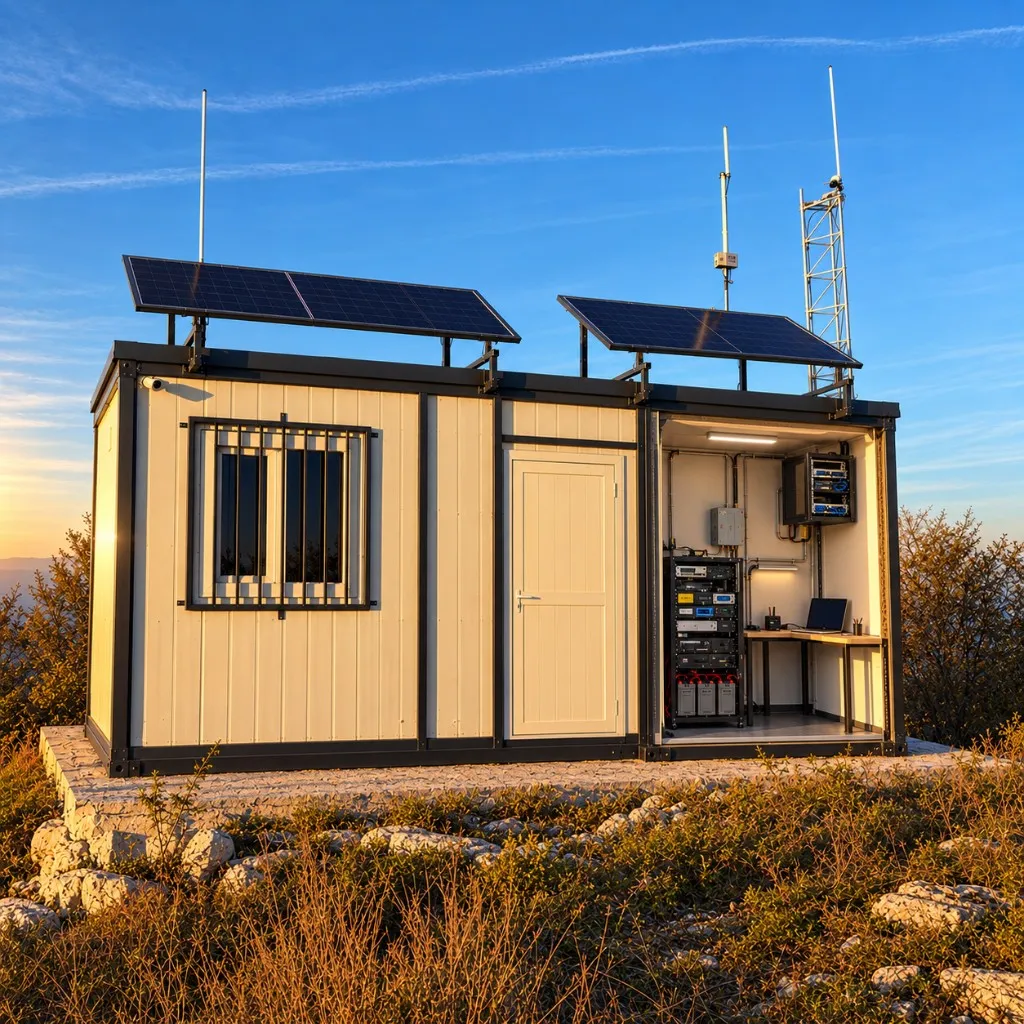
A magistral UHF/DMR repeater — with APRS and Meshtastic nodes on the same summit.
At Čemernica, we are building an autonomous radio-communications site combining UHF/DMR repeater infrastructure, APRS, Meshtastic and remote system control — with a power system designed to operate independently of the electrical grid.
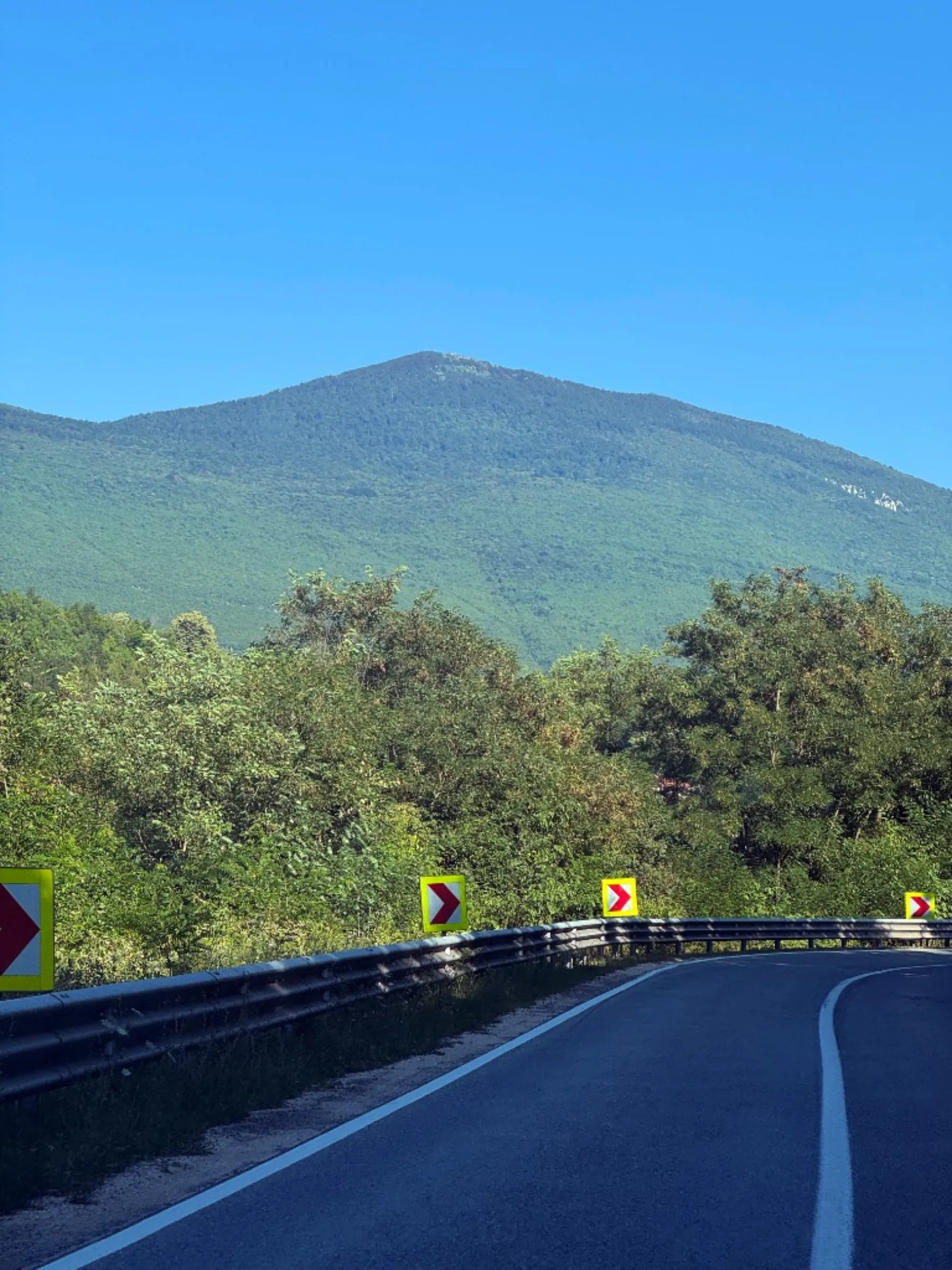
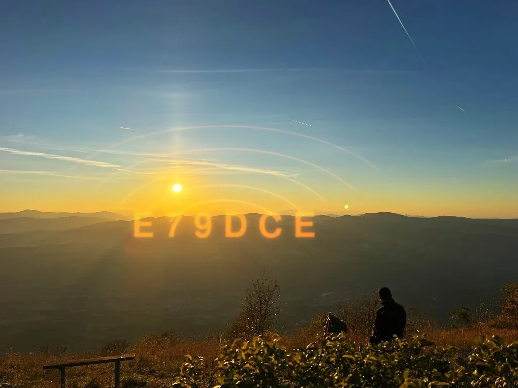
Outside the Kozara major repeater area, much of the Banja Luka region has historically had weak VHF/UHF amateur-radio coverage. The idea of Čemernica grew from operating on the summit, where club members during VHF contests recognised exceptional propagation and the potential of the site for wider radio infrastructure.
Six steps from the first concept and regulatory process through the container, fit-out and the first signal from Čemernica.
Step 1
01
The project begins on the summit
The idea of new magistral amateur-radio infrastructure began with choosing Čemernica and assessing its potential to cover a wider area.
IDEA · SUMMIT
Step 2
02
From idea to approval
After the site was chosen, the regulatory and administrative phase followed — obtaining the permits, consents and conditions required to install and operate amateur-radio infrastructure.
PERMITS · APPROVAL
Step 3
03
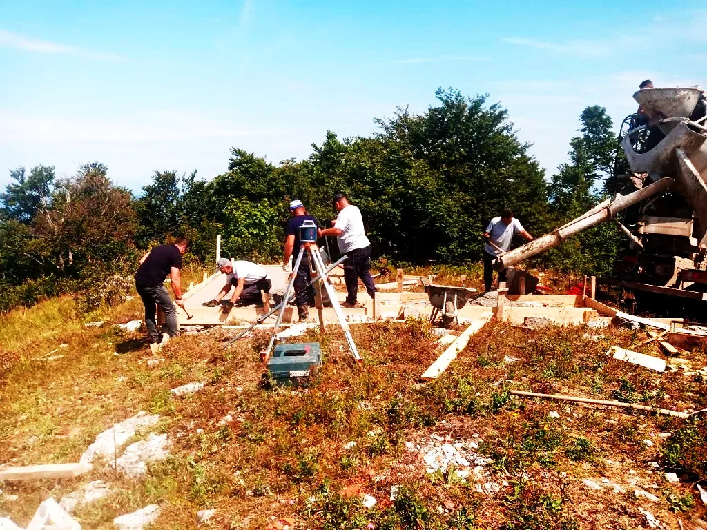
First works on site
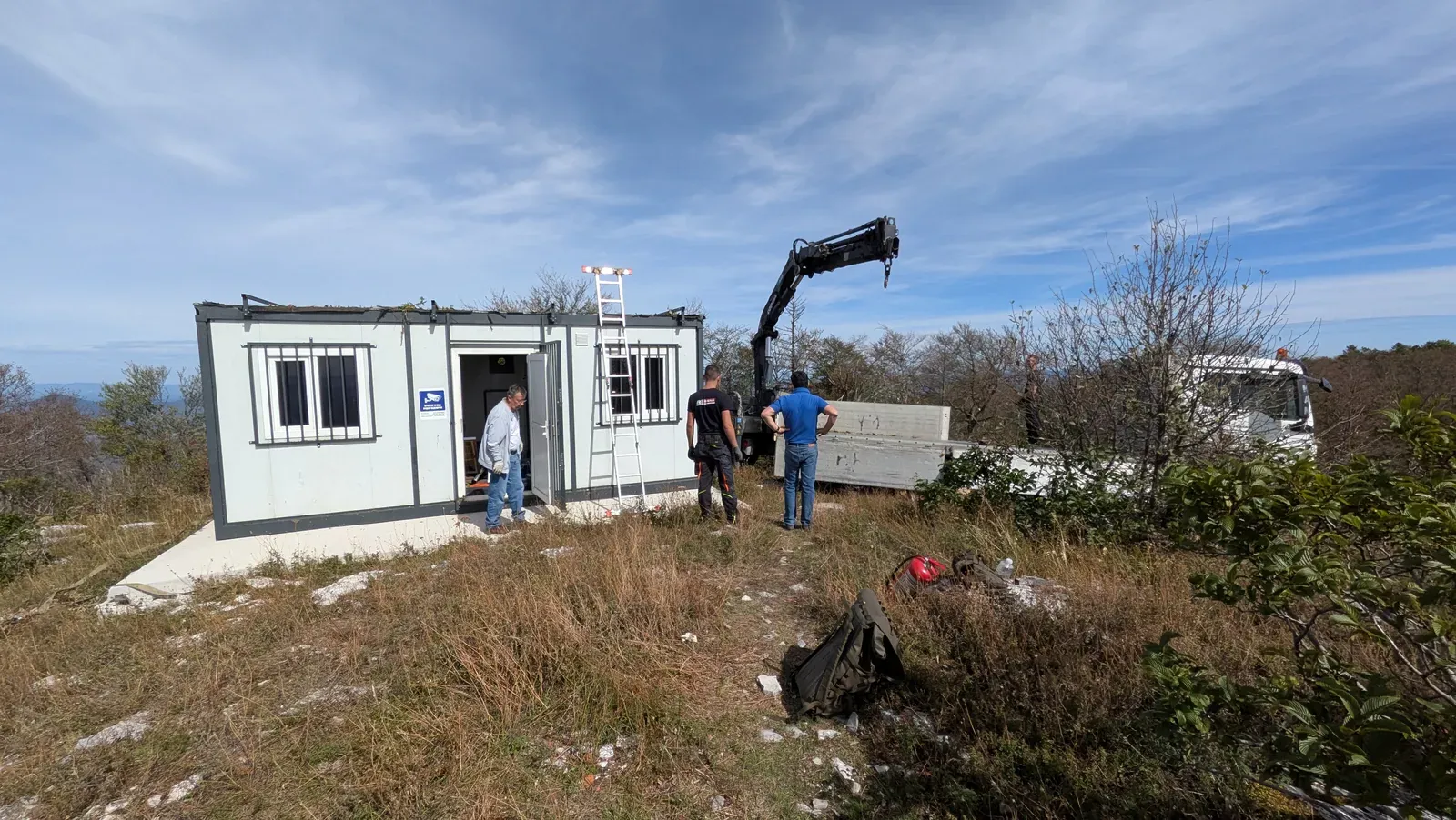
After project preparation, work moved onto the summit itself — preparing the terrain and building the foundation for the technical container and future infrastructure.
FOUNDATION · SITE
Step 4
04
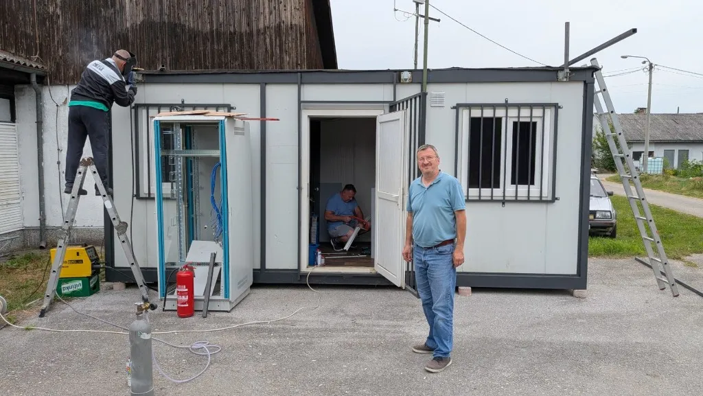
Procuring the technical container
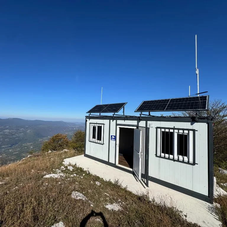
One of the most important steps in the project. The technical container is the foundation of everything that follows — the shell where the radio infrastructure will live and operate on the summit.
CONTAINER · BASE
Step 5
05
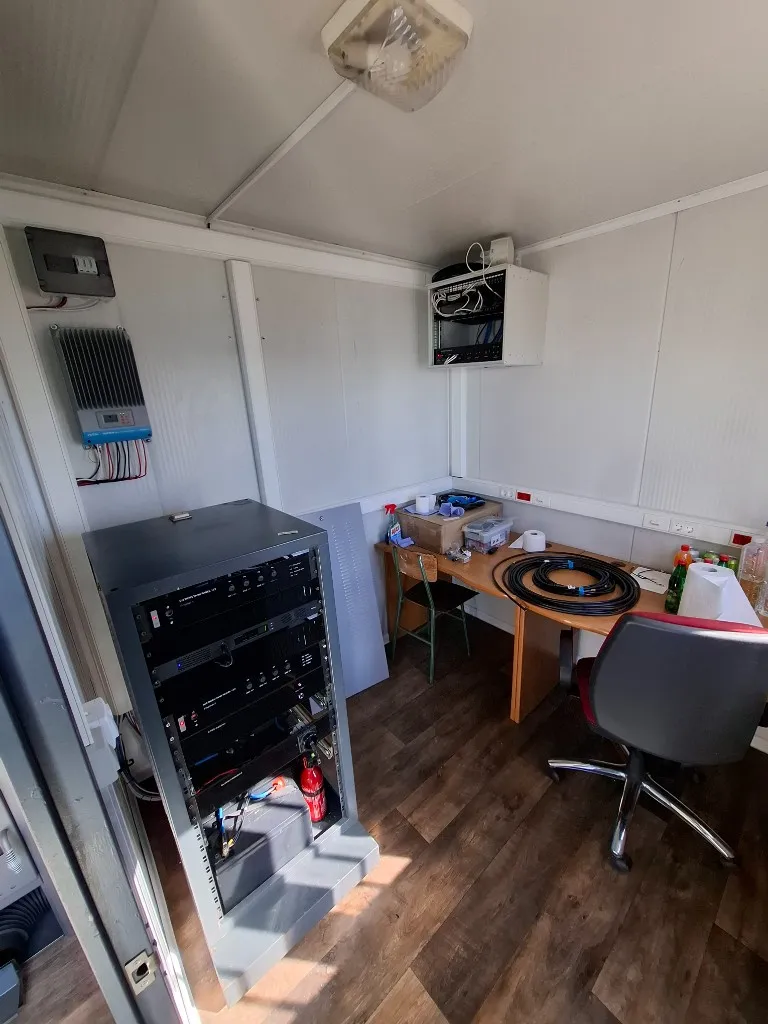
The system gets its equipment
Fitting out the technical container covers power, radio equipment, the control system and the rest of the infrastructure needed for reliable operation at a remote mountain site.
FIT-OUT · 12 V
Step 6
06
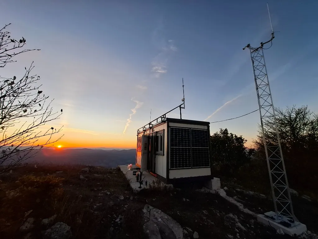
From infrastructure to signal
Final installation, interconnection and system checks lead to the moment the project was started for — bringing the infrastructure into service and the first signal from Čemernica.
ON AIR · SIGNAL
System on the summit
One facility. Multiple connected systems.
At Čemernica, radio systems, digital networks, remote control, network infrastructure and autonomous power operate as one whole.
Coverage
Signal from Čemernica
Modelled radio-system coverage from the Goli Vis site is shown over real terrain. The display is a propagation estimate, not a measured field-strength survey.
Modelled coverage
Loading coverage…
0%
Signal
Excellent≥ −101 dBm
Good−109 … −101 dBm
Usable−122 … −109 dBm
Marginal−130 … −122 dBm
Band labels are a visualisation aid — usable thresholds differ by radio system.
Loading coverage…
MESHTASTIC / LONGFAST
868 MHz · 100 mW · 5 dBi · 4 m AGL
Model: terrain-aware propagation · RX threshold from exported Meshtastic Site Planner result
The display is a modelled propagation estimate based on the transmitter configuration and a digital terrain model. Actual coverage depends on local obstacles, receive-antenna installation, interference and other field conditions.
UHF / DMR
TX: 438.850 MHz
RX: 431.250 MHz
SHIFT: −7.600 MHz
CTCSS: 123 Hz RX/TX
REPEATER: Hytera HR1065
DMR: E79DC · 218020 · CC1
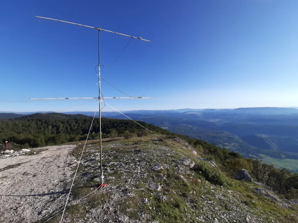
ANTENNA: Diamond X50 · 7 dBi · 6 m AGL
PA: 20 W configured
ERP (model): 10 W
Coordinates: 44.521802 N, 17.217612 E
APRS
FREQ: 144.800 MHz
TX: 10 W
ANTENNA: Procom · 5 dBi · 3 m AGL
COAX: RG214 ≈ 8 m
FEEDLINE LOSS: 0.69 dB
ERP: 16.46 W
POL: Vertical
Coordinates: 44.521802 N, 17.217612 E
Meshtastic
FREQ: 868 MHz
TX: 100 mW / 20 dBm
GAIN: 5 dBi
HEIGHT: 4 m AGL
PRESET: LongFast
DEVICE: LilyGo T3S3
ANTENNA: MikroTik LoRa
POL: Vertical
Coordinates: 44.521802 N, 17.217612 E
People behind the system
Technology is only one part of the project.
Čemernica took shape through many kinds of work — from planning and preparing equipment to transport, installation, testing and maintenance on site. Behind the systems stands the shared effort of people who linked knowledge, time and experience into one working whole.
01
Knowledge
Radio engineering, electronics, networks, power systems and field experience combined into one solution.
02
Field work
Site preparation, transport, installation, interconnection and system checks were done directly on the mountain.
03
Teamwork
Different people took on different parts of the work, but the result was always shared.
04
Maintenance
Putting the system on air is not the end of the project — the site needs regular monitoring, service and further development.
Project support
A project supported by the community.
Čemernica was built through the work of club members, and also with the support of people, organisations and companies that helped with equipment, materials, services or funding.
Čemernica has grown from an idea into working amateur-radio infrastructure. Key systems are in place on the site, but development continues through greater autonomy, additional equipment and better conditions for operating and staying.
Today
Key systems are on the site.
The location is equipped as an autonomous amateur-radio point with UHF/DMR infrastructure, APRS and Meshtastic services, network connectivity, off-grid power and remote monitoring and control.
Operational
01
UHF / DMR
Magistral UHF/DMR repeater infrastructure for local and regional amateur-radio traffic from the summit.
02
APRS
APRS node for positions, short messages and digital packet traffic over the radio network.
03
Meshtastic
Low-power Meshtastic / LoRa node that extends the site into a decentralised mesh network.
04
Network infrastructure
Site networking for services, data exchange and connectivity of systems on the mountain.
05
Off-grid power
Solar 12 V off-grid supply that keeps the site running independently of the electrical grid.
06
Remote monitoring and control
Remote supervision and control of key systems from a distance, without being physically on site.
Up next
The site continues to develop.
Next steps focus on greater autonomy, weather data, a VHF/UHF/SHF beacon, remote amateur-radio operation and better conditions for staying and working on the summit.
Planned
01
Additional batteries
Expanding battery capacity should increase system autonomy and provide safer operation during periods of weaker solar yield.
02
Weather station
Internet + APRS
The planned station will track weather conditions on the summit and send data via the internet and through the APRS network.
03
Antenna system for remote operation
Remote operation
Adding a dedicated antenna system will make it possible to use the Čemernica station for remote amateur-radio operation from the site.
04
Site improvements
Further work is planned on the interior space for staying and operating, as well as the immediate area and yard around the facility.
05
VHF / UHF / SHF beacon
Propagation
A continuous beacon on VHF, UHF and SHF will support propagation monitoring from the summit and let operators check conditions toward Čemernica without needing a two-way contact.
Project diary
News from Čemernica
Work, testing, upgrades and activity from the site through club updates.